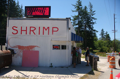
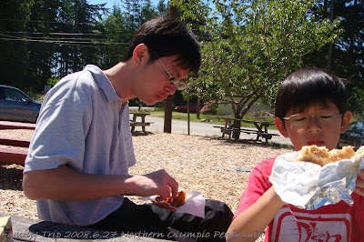
從溫哥華南下過了美國海關之後, 由5號高速公路轉20號路之後, 我們就沿路開車, 走走停停, 隨興的玩. 不過, 路上商店和餐廳好像不多. 向下面這家蝦子和生蠔漢堡專賣店, 就在荒涼的路邊顯得很不起眼. 大衛特別交代要照相存證, 免得下次來又找不到. (對哩, 這次迷路了...) 它的生蠔漢堡真的好大好好吃, 可惜那時餓扁了, 吃到一半才想到要照相.

邊走邊玩, 途經這座大橋停下來走走, 天阿, 腿軟了..
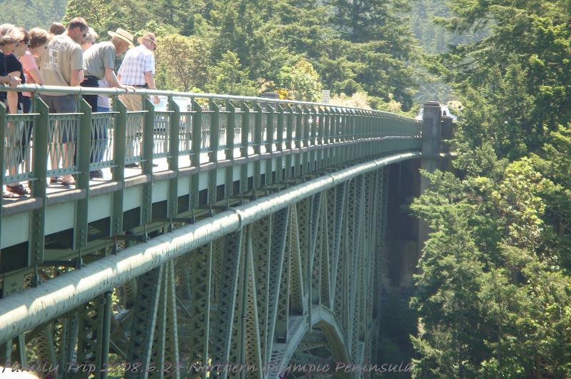

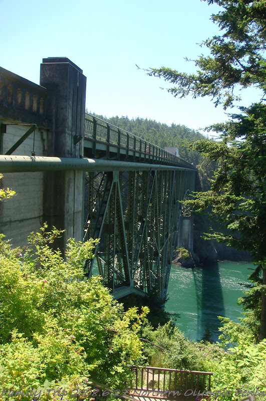
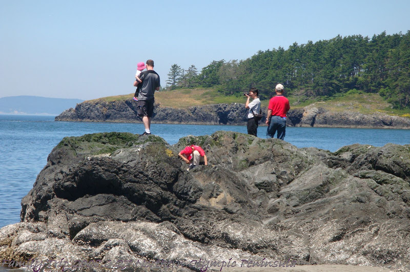
這兒有一個人可以當比例尺, 您就可以知道這橋有多高吧...

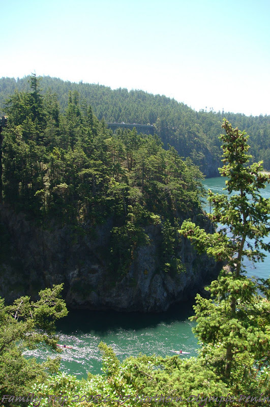
除了從橋上走過, 我們還到橋下往上看, 說真的, 地勢是陡的, 看著前面我覺得他們好像要滾下去了一樣..

對喔, 好像那種可以玩高空彈跳的橋耶...


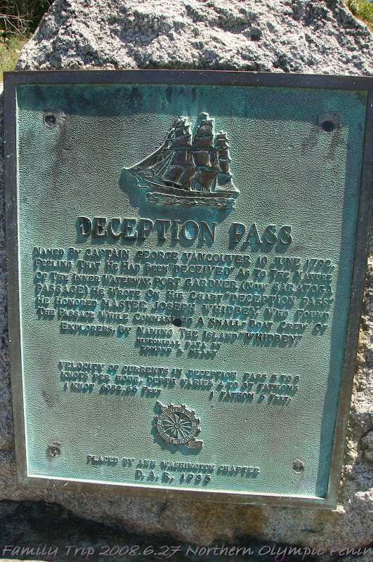
原來這是隸屬於Deception Pass State Park 華盛頓州立公園之一. 參考州立公園網站的歷史典故如下:
The human history of the park dates back thousands of years, when the first people settled in the areas now known as Cornet Bay, Bowman Bay and Rosario. Eventually, the land was settled by the Samish and the Swinomish. They lived on the land until the early 1900s.During his Northwest coastal explorations, Captain George Vancouver became the first European to identify the area near Whidbey Island as a passage, which he named "Deception Pass." A 1925 act of Congress designated the property for public recreation purposes. In the 1930s, the Civilian Conservation Corps (CCC) built roads, trails, buildings and bridges to develop the park.The name "Deception Pass" derived from Captain Vancouver's realization that what he had mistaken for a peninsula was actually an island. He named that island "Whidbey" in honor of his assistant, Joseph Whidbey, who was at his side when Vancouver realized the mistake. The captain named the inlet at which he was anchored "Deception Pass" to commemorate the error.
http://www.parks.wa.gov/parkpage.asp?selectedpark=deception+pass
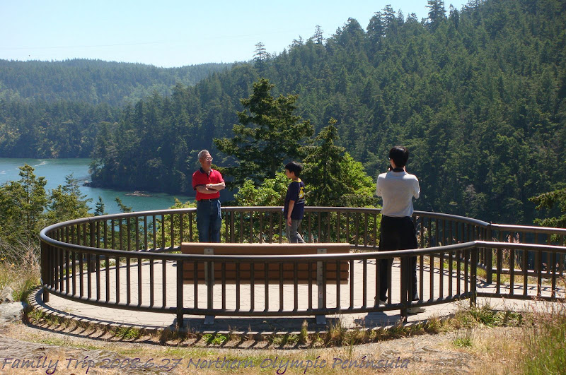
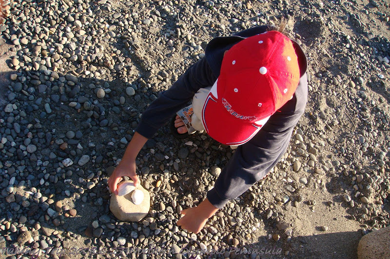
嗯, 到此一遊, 照相留念.
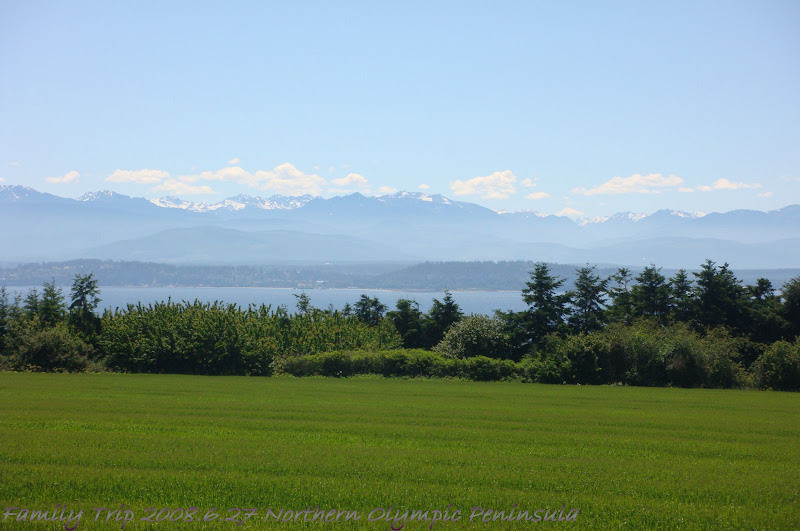
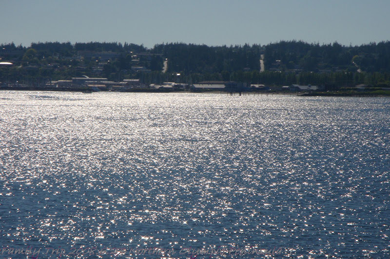
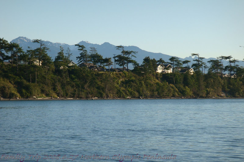
再度上車, 走走停停, 沿途海岸沙灘真的很多.
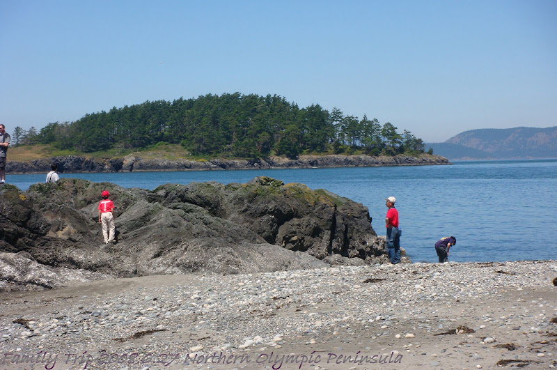

沿途風景都很讚...
終於, 到了Keystone要坐渡輪過去.....對哩, 汽車機車都可以上渡輪.


當然, 沒開車的行人就這樣給他走上船, 走下船..
 嗯, 華盛頓州立渡輪的歷史與典故.....
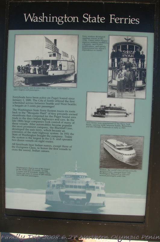
車在船上, 人在車上和船上.
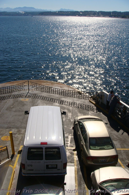

感受一下大海, 沒有刺鼻的鹹水味, 只有慵懶的陽光...
到了....另一個小海灣.

 白光海浪, 懸崖與沙灘...
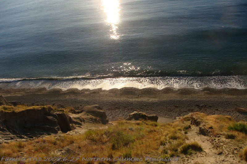
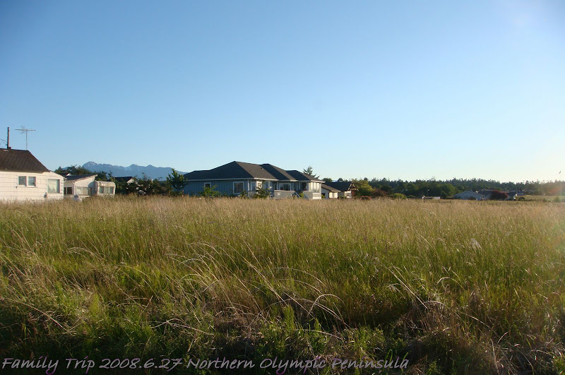
美國是不是真的地大物博啊, 每一間房子總是被一大片土地環繞..........
沒有留言:
張貼留言